Research methods
To reach the aims and objectives of the project a combination of methods was required. The ecological research initially focused on the Hochfeld area of Namibia, while the survey data was collected from the wider commericial farming area od Namibia.
- Literature review: Do a literature review of world-wide research on human-wildlife conflict with a focus on predators (2013).
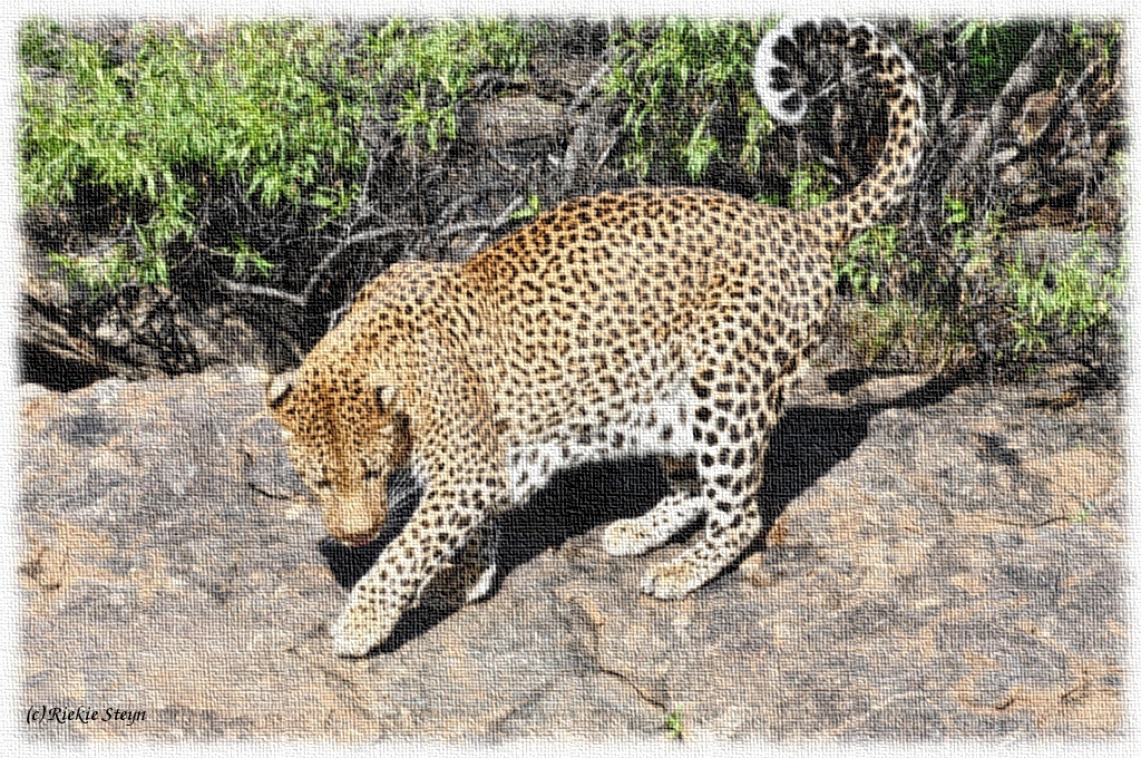
- Camera traps: Use camers traps to identify individual leopards and cheetahs and count them. This data can be compared to previous data to see if there has been a shift in their relative numbers. Camera traps were used to identify places that are frequented by predators and which game (prey species) are available as food sources for predators (2014).
- CyberTracker: Use specially trained trackers ("Eco-trackers") with CyberTracker GPS devices to collect data on predator home ranges, hunting attempts, social behaviour and interactions with other species. Trackers would also collect scat samples which can be analysed for DNA and hair in order to identify individuals and prey species (2014).
- GPS collars: If funding could be obtained and if the tracking data are insufficient, predators would be captured using a combination of cage traps (for cheetahs, caracals and possibly leopards), foot loop traps (for leopards) and soft traps (for jackals) and be released again with modified GPS collars that would take hourly GPS readings (see GPS specs). These methods would mainly provide information on how (and if) predators avoid each other temporally as well as differences in prey preferences for each predator species (2014-2015).
- Survey: Data on current conflict between farmers and predators, the costs and benefits of the methods used by farmers and the occurrence of the different predator species on farms would be acquired using farmer questionnaires (2013).
- Data analysis: Since most of the data include geo-spatial information (GPS points), analysis would mostly consist of GIS models and maps. Resampling methods will be used for any other statistical analysis. A cost-benefit analysis of the current methods used by farmers for preventing livestock depredation would be done. These data should be joined together in a final model (2015).
- Program: Writing a decision support computer system that could be used by farmers and managers in order to calculate the "best" solution(s) for a certain farm and its circumstances (2019).
Feedback June 2018: Due to various unforeseen circumstances, mostly due to lack of funding, we were not able to
use GPS collars and the project had fallen behind schedule. We were blessed by Naankuse allowing us the use of their leopard and cheetah GPS collar data for analysis and writing up the results in a thesis.
Needs (How can you help?)
![chavoux [by] gmail [punt] com](./epos1.png)